Digital Twin Technology: A Smarter Way to Plan Cities
Digital twins help cities plan better by showing what might happen before anything is built or changed. They let planners test traffic, energy, and safety decisions in a virtual setup, so mistakes can be avoided in real life.
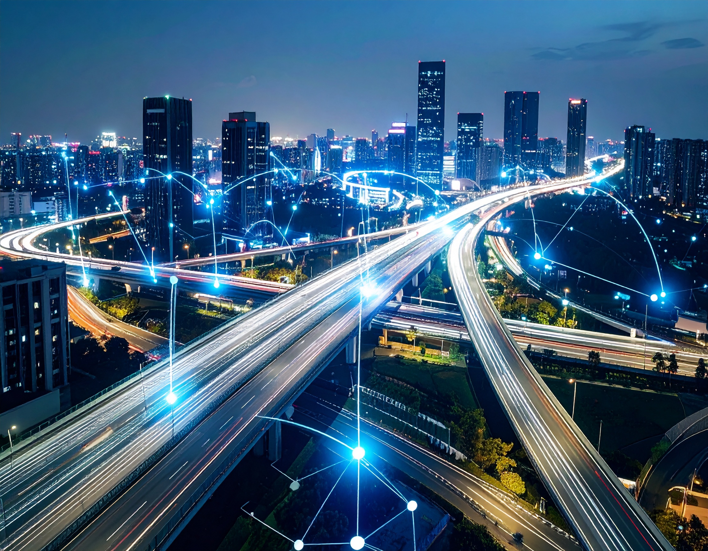
Digital twin technology is changing how cities plan, operate, and respond to future challenges. From traffic management to disaster response, this tool is helping cities make faster, smarter decisions based on real-time data. But before we dive into how it all works, let us get the basics right.
What Is a Digital Twin?
A digital twin meaning a virtual model of a real-world system, is built using data from sensors, cameras, devices, and other sources. The model updates as the real system changes.
In city planning, a digital twin might represent an entire city or just one network, like roads, buildings, or power lines.
The concept of a digital twin is essentially a live, digital representation of a physical space or system that enables you to identify and address issues before they impact real people.
What Is Digital Twin Technology?
Digital twin technology brings together several key systems:
- Real-time data from IoT sensors and public systems
- Advanced analytics to detect issues and trends
- Artificial intelligence (AI) for predictions and simulations
- Edge computing to process data close to the source
Now if you are wondering, is digital twin an AI? No. AI supports the digital twin, but the twin itself is a digital environment that mirrors the real one using many tools, and AI is just one of them.
What is a digital twin in urban planning?
Digital twin for urban planning is one of the most useful applications of the technology. Here's a detailed look at how they help.
Smart Infrastructure Planning
Digital twins help city planners design smarter layouts for roads, buildings, public transport, and utilities. They allow simulations that show how new changes will impact real-life conditions like:
- Traffic congestion
- Noise pollution
- Air quality
- Energy use
- Green space allocation
Instead of relying on outdated reports or static blueprints, planners now use live simulations to support their decisions.
Monitoring and Maintaining Infrastructure
Bridges, tunnels, power grids, and public buildings can all be modeled and tracked. Digital twins help detect when something is wearing out or needs attention well before it fails.
By getting ahead of breakdowns, cities can see a fall in repair costs, reduce downtime, and improve safety.
Managing Facilities at the Component Level
Public facilities like hospitals, schools, and office buildings can be managed more precisely. Digital twins track equipment such as HVAC systems and elevators. They give updates on usage, wear, and performance down to specific parts.
Improving Energy Efficiency
Energy use can be monitored in real time across neighborhoods or entire districts. Cities can:
- Spot areas of high energy waste
- Simulate energy demand
- Test renewable energy options, like solar panels or wind turbines
This supports cleaner and more efficient power use, especially in long-term sustainability planning.
Disaster Response and Emergency Planning
Digital twins play a major role in public safety. Cities can simulate:
- Flood zones and drainage
- Fire risks in high-heat areas
- Emergency response routes
- Damage patterns after extreme weather
This lets emergency teams plan better, reach people faster, and avoid delays that cost lives.
Climate Impact and Environmental Planning
Digital twins also help cities assess long-term risks from global warming, such as rising sea levels and extreme heat.
With these models, planners can rethink coastal defenses, green spaces, and urban drainage systems, all based on projected climate data.
Public Safety and Law Enforcement
Digital twins give police and public safety teams real-time insights into:
- Crowd movement at large events
- Accident-prone intersections
- Crime pattern tracking
By simulating crowd flow and traffic, officers can plan better and react faster.
Simulating the Entire Lifecycle of the City
Digital twins support every stage of urban development:
- Simulation -- Predict outcomes of new buildings, roads, or zoning changes.
- Design and Build -- Optimize materials, reduce waste, and ensure worker safety.
- Operation -- Manage systems in real time with live updates.
- Maintenance -- Detect wear and tear before breakdowns occur.
Each phase requires different inputs and tools. The key is aligning the city's goals with what the digital twin can do at that stage.
Choosing the Right Tools
Not every digital twin solution is built the same. Some tools focus on buildings. Others specialize in transport, energy, or public safety.
Cities need to match their goals to the strengths of the digital twin solution they choose. This means looking at:
- What do they want to improve?
- What data do they already collect?
- How much real-time feedback do they need?
- Which lifecycle phase are they working in?
This strategic approach helps cities pick the right system instead of wasting time on the wrong one.
Digital twin for urban planning is helping cities move faster, spend smarter, and serve people better. It shows what's likely to happen, and what to do about it. Additionally, with rising population pressure and increasing climate risks, digital twin technology is a necessary part of how city planning is done today.

Kavita has been adept at execution across start-ups since 2004. At KiKsAR Technologies, focusing on creating real life like shopping experiences for apparel and wearable accessories using AI, AR and 3D modeling